Business
Goals and Vision
.png)
Introduction of GEOINT
Geospatial Intelligence
What is GEOINT?
It is use of images and geographical information in order to describe,
evaluate and visualize the activities linked geographically with all the terrain features on earth.
It is composed of imagery, imagery intelligence and geospatial information.
Composition
Imagery
Inclusive of satellite and aerial imagery
Imagery Intelligence
Synthesizes the relevant information such as signals, human information and etc. additionally collected in relation to the buildings,
key terrains and etc. that appear in the imagery, and gives an assessment of its significance and meaning
Geospatial Information
Provides information to enable a comprehensive analysis and judgment of terrains and situations
by converging in an overlapped manner multiple sheets of transparency maps of 'terrain information'
which are an analysis of the characteristics held by terrains themselves.
.png)
GEOINT Process
Process for processing GEOINT data

Consultancy on E-Government Development
LoDiCS is providing consultancy on the whole range
of the works related to the development of e-government
including establishment of the e-government development
policy and strategy at the government level, planning for,
and implementation of the projects of, each ministry,
technology development, financing, and etc., on the
basis of the Korean model.
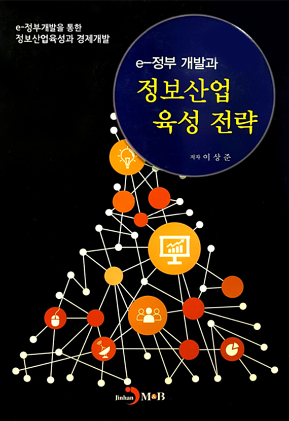
To help our customers have an overall understanding on the management of e-government development, we published a book in 2016 which is titled “Strategies for Development of E-Government & Promotion of ICT Industry.
To help our customers have an overall understanding on the management of e-government development, we published a book in 2016 which is titled “Strategies for Development of E-Government & Promotion of ICT Industry.
Status on Development of E-Government Model

Strategies for Development of
E-Government & Promotion of ICT
Industry (in Korean)

Strategies for Development of
E-Government & Promotion of ICT Industry (in English)

